American warfare 1690-1835 in popular culture, art, in miniature and in wargames, through Living History and in movies.
Tuesday, 30 November 2010
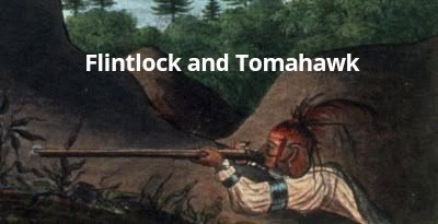
Indians geographical positioning in the SYW
Had a nice email from a gentleman from Slovenia with a request for help - maybe you all might know the answer - the question is - where do you find a decent map of the positions of all the Indian nations at the time of the Seven Years War? He's got the Osprey one in the Woodland indians one...I can't think of anything else at the moment. Maybe the book Atlas of Great Lakes Indians might have it - I don't have it but I think there was a fairly accurate map of the Ohio Indians there but don't buy it just on my failing memory. Some of the period maps made by the French had some Indian nations on - not sure - anyone know about this subject?
Subscribe to:
Post Comments (Atom)
New France & Old England 30th
New France & Old England 30th anniversary | Facebook It is nearly 30 years since our first major event at the American Museum Bath. Jo...

-
 Our colonial Marine unit gets some last minute instruction before going to fight the British. Pinterest for more.
 -
 From Don's Facebook page. The incident depicts Two Kettles Together loading a musket for her wounded husband Honyere Tehawenkarogwen ...

I suggest you reccommend that this Gentleman searches: "French and Indian War maps" in Google Images, there are lots there.
ReplyDeletehttp://www.google.com.au/images?hl=en&rlz=1G1GGLQ_ENAU313&q=French+and+Indian+war+maps&um=1&ie=UTF-8&source=univ&ei=B471TO_JIMjjrAeena3nBg&sa=X&oi=image_result_group&ct=title&resnum=1&ved=0CCkQsAQwAA&biw=1362&bih=555
http://woodsrunnersdiary.blogspot.com/
The Tanner book: "Atlas of Great lakes Indian History" is good. I think it has been reprinted too.
ReplyDeleteThe Atlas of Great Lakes Indian History is a superb reference, and shows not just Indian nation "boundaries" but where exactly each settlement was located. Unfortunately, this information is limited to the Great Lakes region, and does not include eastern Canada, or the southern U.S.
ReplyDeleteBest,
Adam D.
http://miniawi.blogspot.com/